MGRS Coordinates for Airsoft and Milsim: A Field Organiser's Guide

TL;DR
An MGRS coordinate is a grid reference like 4Q FJ 1234 6789 that narrows a location down to a square as small as one metre, and it is the format ATAK, iTAK and WinTAK use. This guide covers how to read and share a grid without garbling it over the radio, who should own that job on game day, and the mistakes that cause a grid reference to fail.
Key takeaways
- An MGRS grid has three parts: a grid zone, a 100,000-metre square, and easting and northing digits.
- More digit pairs mean a smaller square, from 1,000 metres at four digits to 1 metre at ten.
- Read a full grid back before anyone moves; a dropped digit sends a squad to the wrong spot.
- iTAK is a free App Store download, a low-cost way to try a TAK client before committing.
- Tacnav needs mobile data and has no offline maps, so carry a paper map and compass too.
On this page
MGRS coordinates are the grid reference format built for military and agency mapping: a string like 4Q FJ 1234 6789 that pins a location down to a square as small as one metre a side, instead of the decimal latitude and longitude most phone maps use. Airsofters and milsim players run into MGRS because ATAK, iTAK and WinTAK, the TAK family of apps, use it as their working coordinate format. This guide covers what the format means, how to read and share a grid without garbling it over the radio, and the roles and safety checks that sit around it on game day.
MGRS coordinates: what they are and the short version
An MGRS coordinate has three parts: a grid zone designator, a 100,000-metre square identifier, and a numerical location that gives easting and northing digits within that square.[1] Read together, those three pieces narrow a position from “somewhere on Earth” down to a specific patch of ground.
We could not confirm from an official TAK Product Center page that ATAK displays coordinates in MGRS format by default. If your team runs ATAK or iTAK, check the app’s coordinate display setting yourself rather than assuming.
The short version, before the detail:
- MGRS narrows by digit pairs. More digits in the grid means a smaller, more precise square.
- The grid zone and square letters matter as much as the numbers. Drop them and the numbers alone could match a lot of other places.
- ATAK, iTAK and WinTAK all speak this format, which is why organisers who go looking at TAK software run into it.
- Read a grid back in full before anyone moves. A radio channel garbles digits more easily than you’d think.
- A paper map and compass are still worth carrying. Every app on this list needs a screen and, usually, a signal.
Bottom line: MGRS is not complicated once you have read one correctly. It is unforgiving of a dropped digit, which is the whole reason to drill reading it back.
Before the game: get your maps and roles sorted
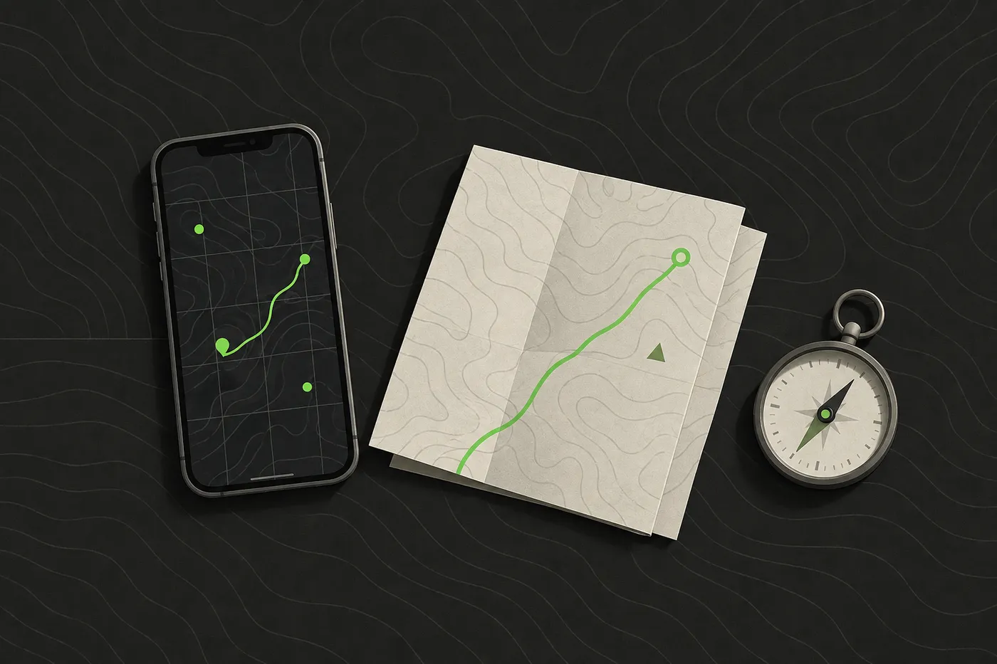
Decide before the day who reads and confirms grid references on the radio net. That is usually the comms lead or a squad’s team leader, not whoever happens to be holding the map when someone asks.
Get the field’s official map in the same coordinate format the marshals use, and sort it before the day. A grid a marshal calls out should match what players see on their own map or app without anyone doing mental conversion mid-game.
If your team is TAK-curious, iTAK is a free download on the App Store, which is a low-cost way to see what a TAK client looks like before committing a squad to a platform.[2] ATAK-CIV, the civilian build for Android, is on Google Play from the same TAK Product Center.[3]
For a fuller prep list beyond maps and coordinates, see how to organise a milsim event step by step.
Reading and sharing an MGRS grid, step by step
- Find the grid zone and square letters first. These are the two-letter, two-character prefix (for example
4Q FJ) that tells you which 100,000-metre square you are in. Skip these and the numbers that follow could match dozens of places worldwide. - Read the digit pairs in order: easting, then northing. A 4-digit reference (two plus two) narrows to a 1,000-metre square; a 10-digit reference (five plus five) narrows to a 1-metre square, and every step in between halves the ambiguity again.[1]
- Say the whole grid before keying off, then have it read back. A dropped digit or a transposed pair sends a squad to the wrong tree line, and there is no way to catch that mistake except hearing it repeated.
- Mark it on the shared map. A grid reference that only exists in one person’s memory is a grid reference that gets lost the moment that person’s radio battery dies.
In Tacnav, a long press on any point on the map copies its MGRS grid reference, and pasting a grid reference into search jumps straight to that point. The web command post at app.tac-nav.com has the same options in its right-click menu, which is handy for an organiser plotting objectives from a laptop before the brief. Get the app from the App Store; Android is in closed beta.
Roles and responsibilities
Spreading grid-reading across too many people is how mistakes happen. Keep it to a short list of named roles:
| Role | What they do | What they need |
|---|---|---|
| Comms lead | Owns the radio net, reads and confirms grid references aloud | A working radio, the field map, spare batteries |
| Team leader | Relays their squad's position and passes objectives down | The squad's coordinate format matched to the comms lead's |
| Safety officer | Holds the medical plan and the call to pause or stop play | A charged phone, the medical plan, a marshal's whistle |
| Marshal | Confirms rule compliance and escalates incidents on the ground | The event's rule sheet and a way to reach the safety officer |
ATAK-CIV’s networking layer creates Cursor-on-Target messages and brokers communication with the TAK Server product, so an organisation already running a TAK Server should keep using that ecosystem rather than adding an unconnected app.[3] If your group has no TAK Server and no plan to stand one up, that requirement is exactly the reason a simpler, session-based tool can be the better fit for a single game. See does your airsoft team need a TAK Server for that decision in more detail.
Safety and rules
Safety: these are common event norms, not law. Confirm your event’s own rules before the brief.
Eye protection rated for airsoft, worn at all times on the field including during a map or radio check, is a norm at most organised events. It is not a universal law, so check what your specific event requires.
A named medical plan and marshals with the authority to stop play are standard practice at organised milsim events. Confirm both are in place before the first grid reference is read out on the day. Checking afterward, once something has gone wrong, is too late to matter.
Common MGRS mistakes to avoid
Dropping the grid zone and 100,000-metre square from an MGRS reference is only safe when they are clear from context, since the bare numerical location on its own does not identify one unique square.[1] If your team is spread across more than one grid zone or square, read the whole reference, every time.
MGRS’s modern lettering scheme is used for WGS84 and other modern geodetic datums, a different scheme from the one used with older datums, so a grid reference is not reliably interchangeable between the two.[1] If a grid from an old map or an unfamiliar app looks like it is landing in the wrong spot, a datum mismatch is worth checking before you assume someone read it wrong.
Tacnav needs mobile data to keep a team in sync and has no offline map download, so keep a paper map and compass as the backup for a coverage gap. The same goes for any phone-based tool at a field with patchy signal.
Other recurring mistakes worth planning around:
- Assuming everyone’s app shows the same format by default. Confirm it in the group chat before game day, well before anyone is standing in a field trying to fix it.
- Reading a grid off a zoomed-out map. Zoom in until the square you are naming is unambiguous on screen.
- Skipping the read-back “because it’s obvious.” It is never obvious to the person who just moved.
MGRS is a small skill with an outsized payoff: a squad that can read and pass a grid correctly loses a lot less time arguing about where “the treeline” is.
Disclaimer: This guide is general information for airsoft, milsim and paintball games and for people learning about publicly available TAK software, not military, tactical or legal advice. Follow your field’s and event’s safety rules, marshal instructions and local law. ATAK, iTAK, WinTAK and TAK Server belong to their respective owners; Tacnav is independent, not affiliated with the TAK Product Center, and not compatible with TAK or Cursor on Target. App features and prices change, so check the official listing before you rely on one.
Sources
- Military Grid Reference System. Wikipedia, accessed Sep 25, 2026.
- iTAK App - App Store. Apple App Store, accessed Sep 25, 2026.
- ATAK-CIV (Civil Use) - Apps on Google Play. Google Play, accessed Sep 25, 2026.
Frequently asked questions
What is an MGRS coordinate?
An MGRS coordinate has three parts: a grid zone designator, a 100,000-metre square identifier, and a numerical location giving easting and northing digits within that square.
How many digits does an MGRS grid reference need?
It depends on the precision you need. A 4-digit reference narrows to a 1,000-metre square, and a 10-digit reference narrows to a 1-metre square, with every step in between halving the ambiguity.
Is iTAK free?
Yes, iTAK is a free download on the App Store, which is a low-cost way to see what a TAK client looks like before committing a squad to a platform.
Do you need a TAK Server for airsoft?
Only if your group already uses ATAK-CIV's Cursor-on-Target networking and wants to stay in that ecosystem. With no TAK Server and no plan to stand one up, a simpler, session-based tool can be the better fit for a single game.
Does Tacnav work with ATAK or TAK Server?
No. Tacnav is independent and not compatible with TAK or Cursor on Target. It can still copy and jump to MGRS grid references on its own map.
Tacnav
Put your whole team on one live map.
Positions, markers, routes and chat in a private session. Join with a QR code, no server to set up.