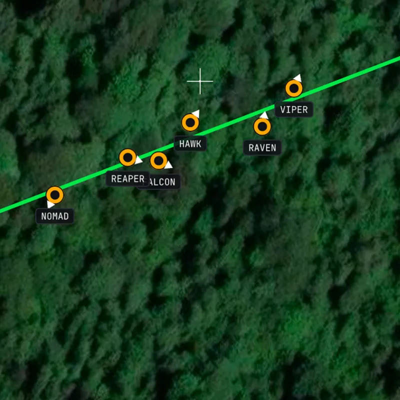
Live positions
Everyone in the session on one map, updating every few seconds, in the foreground and with the phone locked.
For organisers
Give every player on your side the same live picture: who’s where, the objectives, the zones and the briefing. Free, no accounts, set up in minutes.
Your HQ · web command post
Every player · iOS & Android
Everyone in the session on one map, updating every few seconds, in the foreground and with the phone locked.
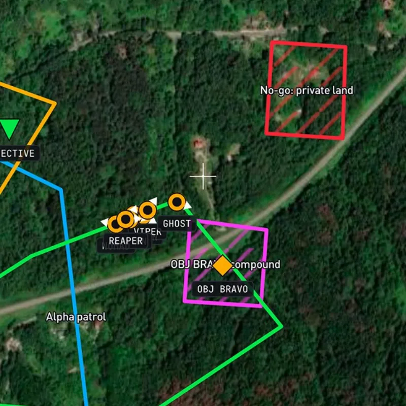
Drop objectives, rally points and enemy sightings. Draw patrol routes, boundaries and no-go zones everyone sees at once.
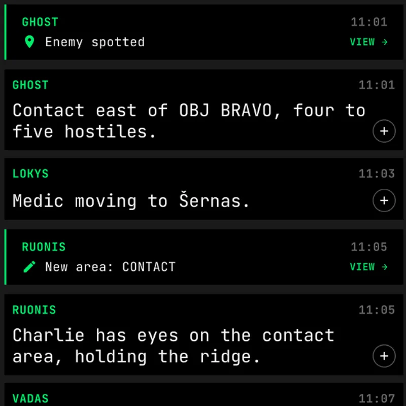
Text, photos and voice notes in one session chat. Every new marker is posted there, one tap from the map.
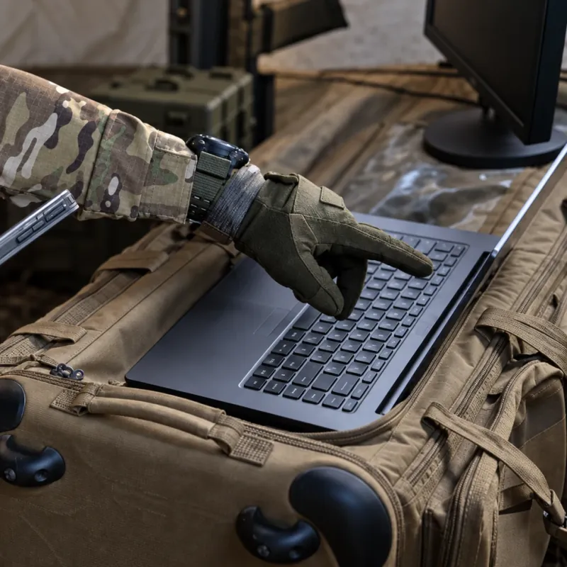
Run the game from a laptop at app.tac-nav.com: the whole team, every marker and the chat on one big screen.
Create a session, draw the AO, objectives, spawns and no-go zones, and pin the briefing. Save it as a template for the next game.
Post the invite link on your event page or print the QR on the briefing sheet. Players join days ahead while the session waits, with nobody’s GPS on.
Switch the session to Active and every phone starts sharing. Turn on Force GPS if every player has to be on the map.
Open the web command post on a laptop: every player, marker and message on one big screen, and you can drop markers from there too.
Photograph the printed or hand-drawn event map and pin it onto the satellite map, so the grid everyone briefed on lines up with the ground.
End the session and GPS stops on every phone. Markers, drawings and chat stay in the session for the debrief.
Two sides?
Everyone in a Tacnav session is on the same side. For a force-on-force game, create a session for each side and give each side its own code. Sessions are private, so neither side can see the other’s positions, markers or chat.
Pair a Meshtastic radio over Bluetooth and Tacnav sets up an encrypted channel for your session. Positions, markers and chat then go radio to radio over LoRa with no mobile coverage, and anyone who still has signal relays them to the rest of the team.
Nothing. Tacnav is free for organisers and players.
No. Players install the app, scan the session’s QR code or open the invite link, pick a callsign and they’re on the map.
We’ve tested 200 phones in one session, with every position updating every couple of seconds.
No. Everyone in a session is on the same side. Create one session per side and give each side its own code. Sessions are private, so neither side sees the other’s positions, markers or chat.
iPhone and Android. The command post runs in any browser at app.tac-nav.com.
Tacnav needs mobile data to keep the team in sync. A message or marker sent in a dead spot waits on the phone and goes out once it’s back in range, and positions catch up as soon as the phone reconnects.
Yes. Leave the session in Waiting while players join. Nobody’s GPS is on until you switch it to Active.
Turn on Force GPS. Players whose location access isn’t set to Always can’t use the session until they change it.
Yes. Photograph or upload your printed or hand-drawn map and pin it onto the satellite map by its corners, so the grid lines up with the ground.
Save the session’s map as a template and load it into the next one, on its own or merged with what’s already there.
End the session and GPS stops on every phone. Markers, drawings and chat stay with everyone who played, for the debrief, and only people who joined can see any of it. As the admin you can also remove anyone at any time.
Sharing a live position keeps GPS on, like a navigation app. For all-day games, players should bring a power bank.
Running an event?
Tell me the date, the field and roughly how many players, and I’ll help you set up the sessions and the map.