How to read a topographic map for airsoft and milsim games

TL;DR
Reading a topographic map for a game means finding the scale and legend, reading the contour interval and lines for elevation, orienting the map with a compass, and converting a point to a grid reference you can call out. Most people get the basics down in under an hour with a real map of the site. The most common mistake is reading contour lines without ever checking the contour interval in the legend.
Key takeaways
- Closely spaced contour lines mean steep terrain, widely spaced lines mean flat ground
- Always check the contour interval in the legend before the lines mean anything
- Magnetic declination varies by location and must be adjusted for when orienting a map
- One squad member should own the map and relay grid references to net control
- ATAK and iTAK use Cursor on Target messaging that Tacnav does not support
On this page
Reading a topographic map well enough to run a squad on it takes most people under an hour with a real map of the site in hand: find the scale and legend, read the contour lines for elevation, orient the map to the ground, and convert a point to a grid reference you can call out over the radio. A topographic map shows the shape of the ground using contour lines, each one tracing a path of equal elevation, so closely spaced lines mark steep terrain and widely spaced lines mark flat ground.[1] The mistake almost everyone makes early on is reading those lines without ever checking the contour interval printed in the legend, since the exact same squiggly pattern can mean a 5 metre rise or a 20 metre rise depending on the map.
Bottom line: the map tells you nothing until you’ve read the legend. Everything else is practice.
What you need
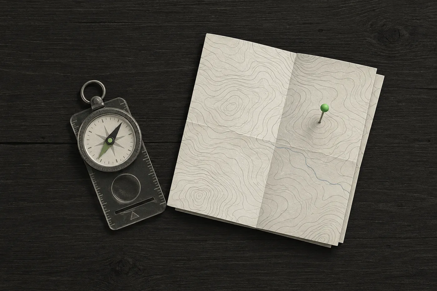
- A current paper topographic map of the game site and a baseplate compass. These are the two items every squad should carry regardless of which phone app is running.
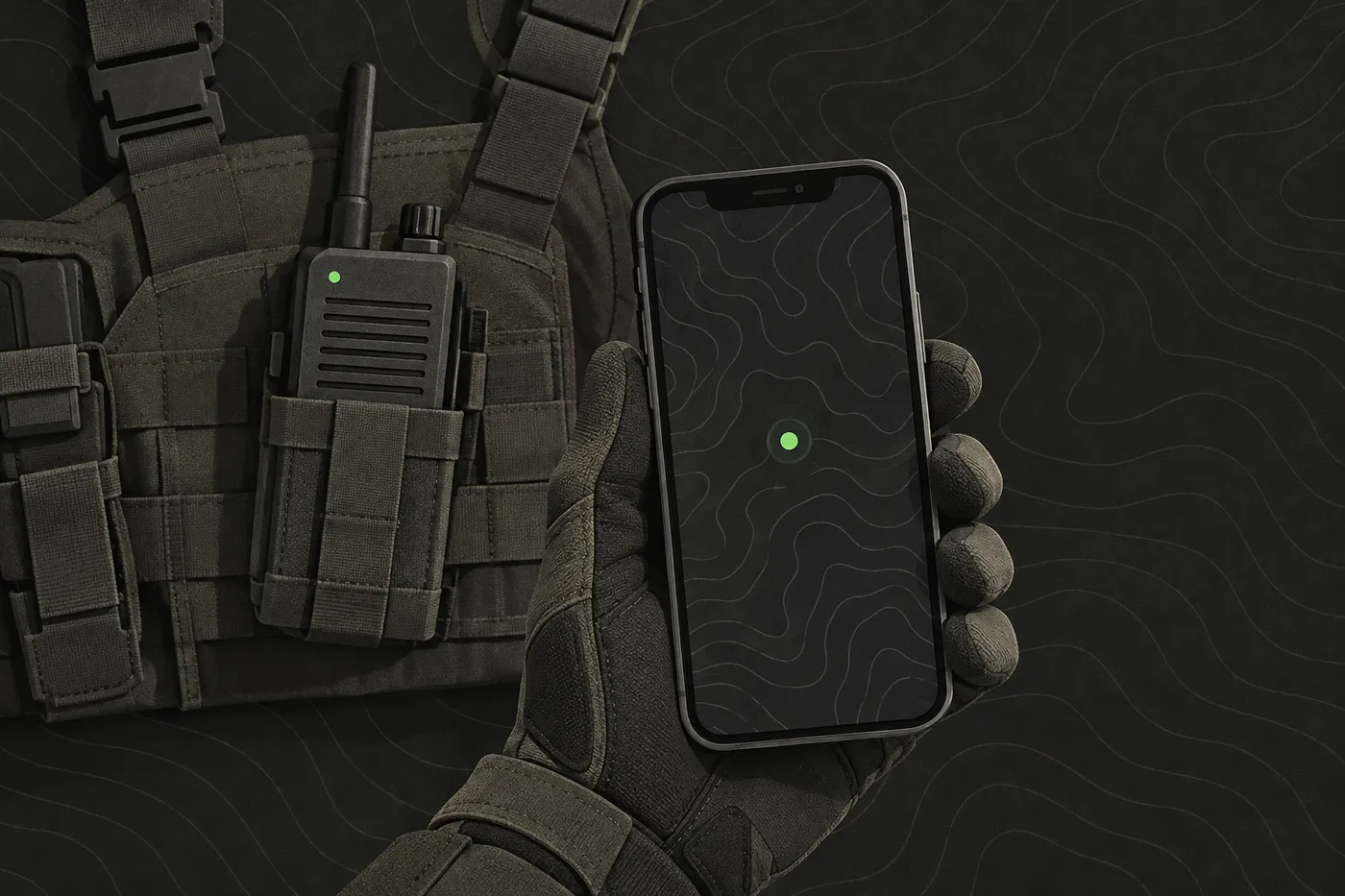
- A phone with a mapping app, as a backup. Good for checking a grid reference fast in the field; the paper map and compass are what the squad started the day with.
- A shared grid reference system. Military Grid Reference System coordinates are derived from the Universal Transverse Mercator and Universal Polar Stereographic grid systems and are used as a geocode system for identifying any point on Earth.[2] Agree on it before the briefing, since sorting it out mid-contact wastes time nobody has.
- A map at a sane scale. In the United States, the national topographic map series is organised by a strict 7.5-minute grid, with individual sheets commonly called quads or quadrangles, a size that still folds down to something a player can carry in a pocket.[3]
The checklist
For the full version of this, with owners and deadlines for the rest of the event, see our milsim event organising checklist. The map-reading slice of it looks like this:
| Phase | Task | Who |
|---|---|---|
| Weeks before | Print a paper copy of the site map weeks before the game. It's what protects the squad on the day a phone battery dies or a coverage gap stops the map tiles loading | Map owner |
| Week before | Mark rally points, no-go zones and the safe zone on both the paper map and the phone app, so nobody is arguing about boundaries once play starts | Organiser |
| Game day | Confirm every squad's grid reference system matches net control's before the first briefing. A mismatch found mid-contact costs time nobody has | Squad leads |
| After | Collect any printed maps and note where grid references or map reading caused confusion, so next briefing fixes it | Map owner |
The steps, numbered
Step 1: Read the legend before anything else
The contour interval, the vertical distance in elevation between adjacent contour lines, is stated in the map’s legend and has to be read before the lines mean anything at all.[1] Check it before you trace a single line. A map with a 5 metre interval and a map with a 20 metre interval can look identical at a glance and describe completely different terrain.
Step 2: Trace the shapes the contour lines draw
Once the interval is set, the lines start to read as terrain. A ridge, a draw, a saddle, a depression: learning to recognise these shapes before the game starts lets a squad use the ground for cover without checking a phone every few minutes. This is the part that pays off on the field, more than any app.
Step 3: Orient the map to the ground
Lay the map flat and line up true north with the ground using a compass. Magnetic declination, the angle between magnetic north and true north, varies by location and has to be added to or subtracted from a compass bearing to line the compass up with the map’s grid lines.[4] Skip this step on a map with a large declination and your bearings will be off by enough to matter.
Step 4: Convert a position to a grid reference, and call it out
This is the step that gets used mid-game: turning “we’re by the big rock” into a grid reference net control can mark without walking over to look. Our separate field guide to MGRS coordinates covers reading and writing them in detail. In the field, Tacnav lets a player long-press any point on the map to copy its MGRS grid reference, or paste a grid reference into search to jump straight to that spot, which is handy for calling out a position read straight off the paper map. Tacnav is on the App Store; Android access is by request while it’s in closed beta.
Roles
- Map owner. One person on the squad, often the lead, owns the map: calling the squad’s position in grid references and relaying them up to net control rather than letting every player call raw coordinates over a busy channel.
- Safety officer or marshal. Logs the grid reference of any hazard or injury as soon as it’s reported, so the medical plan can send help to the right spot without a radio description of landmarks.
Safety and rules
Eye protection and a chrono check before play are standard event norms at most organised airsoft and milsim games, enforced by marshals rather than by law. Treat them as a condition of playing.
Safety: a hazard called in by grid reference gets found faster than one called in by landmark. Make sure your safety officer carries a grid reference system alongside the map.
On the TAK question specifically: TAK software, including ATAK and iTAK, shares information between clients using Cursor on Target (CoT) and chat-sharing features.[5] Tacnav does not support this Cursor on Target protocol. If your organisation is already running a TAK Server, or needs to share positions with agencies and plugins built around CoT, ATAK is the right tool for that job. Our guide to TAK Server and FreeTAKServer walks through when a team needs one.
Common mistakes
- Folding the map the same way every time. Eventually the crease runs straight through the game area and that’s the one detail nobody checks twice.
- Trusting the phone’s position dot without cross-checking it. Never line it up against a contour line or a compass bearing and you can walk straight into a reentrant or a drop you couldn’t see on screen.
- Skipping the map and grid-reference walkthrough at the briefing. Half the squad ends up reading coordinates differently the first time it matters, usually mid-contact.
Disclaimer: This guide is general information for airsoft, milsim and paintball games and for people learning about publicly available TAK software, not military, tactical or legal advice. Follow your field’s and event’s safety rules, marshal instructions and local law. ATAK, iTAK, WinTAK and TAK Server belong to their respective owners; Tacnav is independent, not affiliated with the TAK Product Center, and not compatible with TAK or Cursor on Target. App features and prices change, so check the official listing before you rely on one.
Sources
- Contour line. Wikipedia, accessed Oct 5, 2026.
- Military Grid Reference System. Wikipedia, accessed Oct 5, 2026.
- Topographic map. Wikipedia, accessed Oct 5, 2026.
- Magnetic declination. Wikipedia, accessed Oct 5, 2026.
- TAK Product Center. TAK.gov, accessed Oct 5, 2026.
Frequently asked questions
How long does it take to learn to read a topographic map?
Most people can learn to read the scale, legend, contour lines and a grid reference well enough to use on a game day in under an hour with a real map of the site.
What is the biggest mistake beginners make reading contour lines?
Reading the contour lines without checking the contour interval printed in the legend first. The same pattern of lines can mean a 5 metre rise or a 20 metre rise depending on the map.
Do you need a compass to read a topographic map?
Yes. A baseplate compass is one of the two items every squad should carry, used to orient the map to the ground and to account for magnetic declination, the angle between magnetic north and true north.
Is Tacnav compatible with ATAK or TAK Server?
No. Tacnav does not support the Cursor on Target protocol that ATAK, iTAK and TAK Server use to share information. An organisation already running a TAK Server should keep using ATAK for that connection.
What is a grid reference used for in airsoft or milsim?
A grid reference lets a squad call out its exact position to net control without describing landmarks. Tacnav lets a player copy an MGRS grid reference from any point on the map or paste one into search to jump to that spot.
Tacnav
Put your whole team on one live map.
Positions, markers, routes and chat in a private session. Join with a QR code, no server to set up.